Day hike

Chandragiri Hiking Trail

About 4 km and roughly 1,000 m of climb from Thankot to the Chandragiri ridge, two to four hours through forest on dirt path and stone steps, with a cable car down.

Thankot Travel Desk Last checked August 2026 7 min read
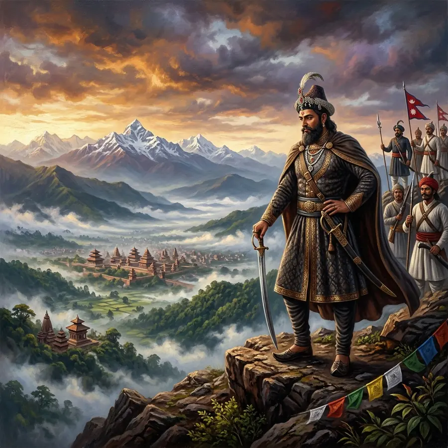
The Chandragiri ridge and the snow peaks beyond, seen from the trail
The reward at the top of the climb, on a clear winter morning.

The Chandragiri hiking trail climbs roughly 4 km from the Thankot side of the valley rim to the summit ridge at 2,551 m, and most walkers take two to four hours to the top depending on fitness and how often they stop. It is a moderately hard day hike rather than a technical one: dirt path, farm track and long flights of stone steps through pine and rhododendron forest, with well over 1,000 m of ascent from the valley floor.

The standard plan is to walk up and ride the cable car down on a one-way ticket, which costs about half the return fare and saves a punishing descent on the knees. Doing it the other way round, riding up and walking down, is also common and much easier, though you lose the satisfaction of arriving at Bhaleshwor Mahadev on foot the way pilgrims have always done.

This is the best-known day hike within reach of Kathmandu that does not require a vehicle transfer to reach the trailhead. Take a bus to Thankot, walk up, look at the mountains, come down. On a clear December Saturday you will not be alone on it.

The route in detail

The trail starts from the Thankot side, above the cable car base station, and climbs the northern face of the hill.

  1. Thankot to the forest edge, about 45 minutes. Farm tracks and lanes past houses and terraced fields, gaining height steadily. This is the section where the route is least obvious; ask for the Chandragiri path and locals will point you at it.
  2. The forest, 1 to 2 hours. The trail enters pine and rhododendron and steepens. Long flights of stone steps alternate with dirt path. This is the hardest part and it is relentless rather than dangerous.
  3. The upper ridge, 30 to 45 minutes. The gradient eases, the trees thin and the cable car line appears overhead. The path joins the developed area near the top station.
  4. The summit. Bhaleshwor Mahadev temple, the viewing terraces and the restaurants are all within a few minutes of each other.

The trail is used daily by local walkers and pilgrims and is not a wilderness route. It is also not signposted in English throughout, so a downloaded offline map is worth having.

How hard is it, honestly?

Moderately hard. The distance is short but the climb is sustained, and the stone steps in the middle section are punishing on the calves. Anyone who walks regularly will manage it in three hours with stops. Someone who does not will manage it in four and feel it the next day.

There is no exposure, no scrambling and no navigation difficulty beyond the first section through the farmland. The main risks are heat in the lower section on a spring afternoon, dehydration, and slipping on wet stone steps in the monsoon.

Coming down on foot takes around two hours and is harder on the knees than the ascent was on the lungs. Poles help. So does the cable car.

What to take

  • Two litres of water each. There is nothing reliable to buy between the bottom and the top.
  • Shoes with grip. Trainers are fine in dry weather; the stone steps are slick when wet.
  • A warm layer and a windproof. The ridge is roughly 8C to 10C colder than Thankot and the wind on top is constant.
  • Sun protection. The lower half is exposed and the sun at altitude is strong even in winter.
  • Cash for the cable car down, the temple offering and tea at the top.
  • Snacks. The restaurants at the top are resort-priced and may be busy.
  • A headtorch if you are starting before dawn to catch the light.

Season and timing

October to March is the season. The air is clearest from late October to February, which is also when the northern horizon is worth the climb. Winter mornings are cold at the bottom and colder at the top, but the walking is comfortable and the sky is reliable.

April and May are hot on the lower section and hazy above. Start at first light or not at all.

June to September is monsoon. The forest is beautiful and empty, the steps are slippery, leeches are active and the view from the top is usually cloud. Some people love it. Go with the expectation of a green wall rather than a mountain range.

Whatever the month, start early. Being on the ridge by mid-morning gives the best chance of a clear horizon and leaves a wide margin before the cable car stops running around 7pm.

Riding down, and other ways to finish

A one-way downhill cable car ticket is roughly half the return fare, which puts it in the region of NPR 450 to 500 for a Nepali adult and around USD 13 for a foreign national. Confirm at the counter; fares are revised.

Alternatives if you want to keep walking: the descent on the same trail takes about two hours, and longer routes drop off the far side of the ridge towards Chitlang, which turns the day into a full point-to-point walk requiring transport at the other end. That is a bigger undertaking and needs planning beyond the scope of a day out from Kathmandu.

If you want a shorter hill day at less altitude, the ridge walk from Dahachowk to Indra Daha and the Kalu Pande memorial park is a gentler alternative on the same side of the valley.

How to get to Chandragiri Trail

The trailhead is in Thankot, above the cable car base station, about 12 km west of central Kathmandu.

  • By bus or micro: westbound from Kalanki towards Thankot or Naubise, fare well under NPR 50. Get down at Thankot and walk up towards the base station.
  • By taxi: ask to be dropped at the Chandragiri cable car base station. From there the path continues uphill on the left of the station complex; ask a local to confirm the start.
  • Coming back: the cable car deposits you at the base station, from which the last buses back towards Kalanki run into the evening. Confirm the last service if you are cutting it fine.

Route options and fares in more detail are on the getting to Thankot page.

Questions

Common questions about Chandragiri Trail

The questions people search for most, answered with the figures we could verify.

How long does the Chandragiri hike take?
Two to four hours to the top for most walkers, covering about 4 km and well over 1,000 m of ascent. Coming back down on foot takes around two hours; the cable car does it in nine to twelve minutes. Allow five to seven hours for the full day from Thankot and back.
How difficult is the Chandragiri hiking trail?
Moderately hard. The distance is short but the climb is sustained, with long flights of stone steps through the forest section. There is no exposure and no scrambling. Regular walkers will find it a solid three hours; people who do not walk often will find it demanding but manageable.
Can you hike up Chandragiri and take the cable car down?
Yes, and it is the most popular way to do it. A one-way downhill ticket costs about half the return fare, roughly NPR 450 to 500 for a Nepali adult and around USD 13 for a foreign national. Buy it at the top station. Confirm the current rate, as fares are revised.
What should I take on the Chandragiri hike?
Two litres of water each, shoes with grip, a warm windproof layer for the ridge, sun protection for the exposed lower section, snacks, and cash for the cable car down and for tea at the top. There is nothing reliable to buy between the bottom and the summit.
What is the best season for the Chandragiri hike?
October to March, with the clearest air from late October to February. April and May are hot and hazy, so start at first light. The monsoon from June to September brings slippery steps, leeches in the forest and cloud on the summit, though the forest itself is at its best.

Planning a visit to Chandragiri Trail?

Fares, bus routes, journey times and the months when the western rim is at its clearest.