Thankot Chronicles

The History of Thankot: Eight Chronicles of the Valley Gate

Legend, chronicle tradition and documented history for the town at the western gate of the Kathmandu Valley, with every claim labelled for what it is.

Thankot Heritage Research Team Last checked August 2026 8 chronicles

Introduction to the history of Thankot

Why a small town has this much history

Thankot is a town of moderate size about 12 km west of central Kathmandu, on the valley floor at roughly 1,301 m, at the foot of the Chandragiri hills. Its history is out of all proportion to its size, and there is a single reason for that.

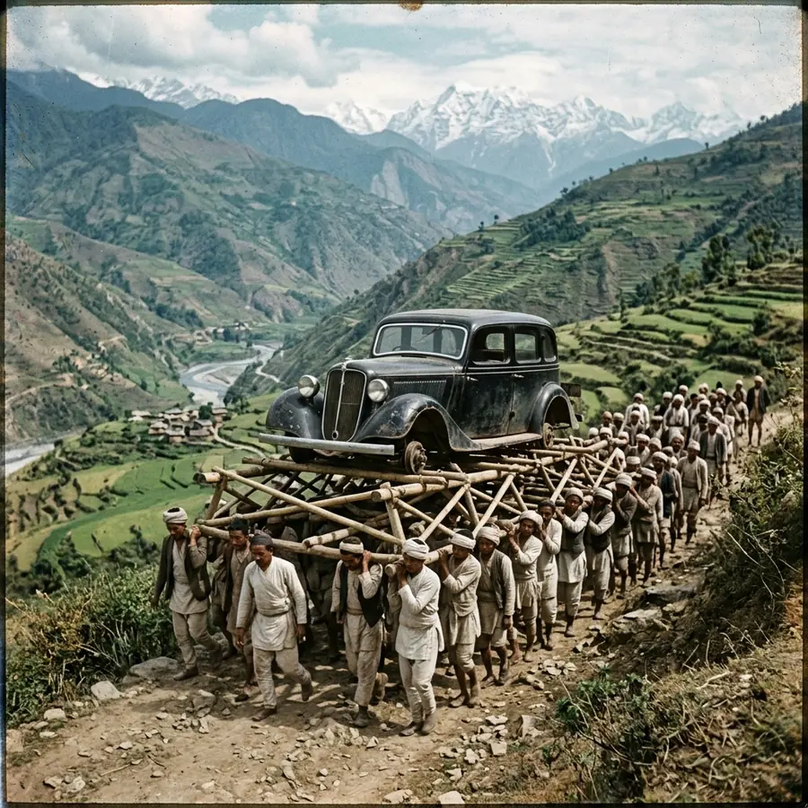
The Kathmandu Valley is a closed bowl. There are only a handful of practical ways into it, and on the western side there is effectively one: the saddle above Thankot, now called Nagdhunga. Everything arriving from the middle hills, from the plains of India by way of Chitlang and Bhimphedi, and from the whole of western Nepal has come over that saddle and down into Thankot. Salt came this way. Grain, cotton, iron and kerosene came this way. Armies came this way, or failed to. In the twentieth century motor cars came this way on the shoulders of a hundred men at a time, and in 1956 the first road into the valley came this way too.

A town in that position accumulates history whether or not anything remarkable is happening in it. It is a gate, and gates are where things get counted, taxed, blocked, defended and remembered.

Three kinds of claim, kept apart

Most writing about Thankot's past mixes three different kinds of statement together, and the mixing is why so much of it is unreliable. Everything on this site is sorted into one of three categories, and each chronicle states which one it is working in.

Legend is Puranic and mythological material. The story that Thankot was Shonitapura, the city of blood, capital of the thousand-armed asura Banasura, comes from the Bhagavata Purana and its relatives. It is a real and old local tradition. It is not evidence that a city of that name stood here, and the identification is claimed at least as strongly by Tezpur in Assam. We call it legend every time it appears.

Chronicle tradition is the vamshavali material: the Nepali genealogical chronicles, compiled and recompiled under the Mallas and the Shahs. The Kirat king lists, the founding dates of temples, the sayings attributed to kings and the story of the vision from the Chandragiri ridge all live here. This material often preserves genuine memory and is often tidied. We attribute it rather than stating it flat.

Documented history is what can be tied to a dated inscription, a surviving order, a survey, a photograph or a published record. At Thankot this becomes substantial from the eighteenth century: the campaign dates of the Gorkhali unification, the nineteenth century customs orders naming Thankot as a duty point, the porter transport recorded in photographs and in interviews with the men who did it, and the construction of the Tribhuvan Highway.

None of the three is worth less than the others. They simply answer different questions, and a page that blurs them is not doing its reader any favours.

The arc, from the pass to the tunnel

Read in order, the eight chronicles below tell one story, and it is the story of a road.

It opens with a legend that explains why this ground feels contested, and with a chronicle tradition that gives the valley Kirat rulers before the Licchavis. Neither can be dated at Thankot, but the geography behind both is real: this saddle was in use long before anybody wrote anything down about it.

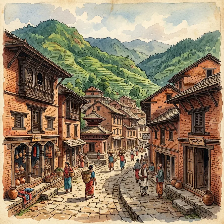
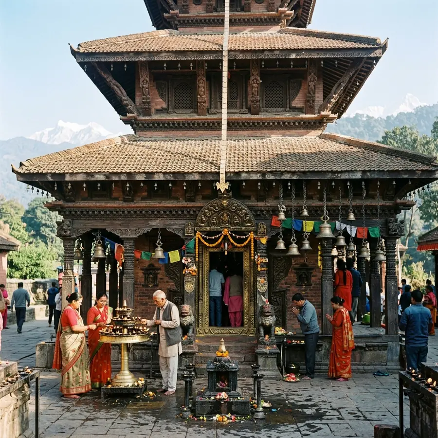
The Malla centuries give the town the shape it still has. A linear bazaar along the trade road, a pagoda temple to Mahalaxmi at its centre, dated locally to about 1690, rest houses at both ends and a set of guthi trusts that fund and run the ritual year. Mahalaxmi is one of the Ashta Matrika, the eight mother goddesses who hold boundaries in the valley's sacred geography, and putting her at the western gate is entirely consistent with what that system is for.

The eighteenth century turns the gate into a weapon. Between 1744 and 1769 the Gorkhali under Prithvi Narayan Shah took the Kathmandu Valley by holding its approaches rather than by storming its cities. They lost badly at Kirtipur in 1757, where the Mul Kaji Kalu Pande was killed and is buried on the ridge above Thankot at Dahachowk. They came back with a blockade, took Kirtipur in 1766, entered Kantipur on the first day of Indra Jatra in 1768, and finished at Bhaktapur in 1769.

The nineteenth century is the least dramatic and the best documented. Thankot appears by name in Nepali revenue orders as a duty point, including an 1855 order relieving two-thirds of the duty on salt brought up from the south. This is the town at its most characteristic: a place where the state adjusted a number and the price of salt in Kathmandu moved.

The twentieth century produces the two chronicles people remember. Until 1956 no road reached the valley, so cars for the Rana and royal households were stripped down, lashed to timber and bamboo frames and carried over the hills from Bhimphedi by teams of sixty to a hundred men, taking about eight days, and reassembled at Thankot. Then the Tribhuvan Highway opened, entering the valley over Nagdhunga, and ended that trade in a single year.

The story is still running. In July 2026 the Nagdhunga to Sisnekhola tunnel, 2.68 km and Nepal's first road tunnel, was inaugurated. It is the largest change to this corridor in seventy years, and like the highway before it, it will reshape the town that sits at the bottom of the pass.
How these pages are researched

Every chronicle carries a byline, a published date and a last-checked date, and lists the categories of source consulted. Where a date is contested in the literature, we give the range and say who disagrees rather than picking the tidier number. Where a local attribution is not backed by a published inscription, we say that too.

We do not invent citations. The source lists on these pages name genuine categories of material: published translations of the Puranas and the vamshavali, the Regmi Research translations of nineteenth century Nepali revenue orders, Department of Archaeology monument records, JICA project documentation, Nepali press archives, municipal notices, guthi accounts, and interviews and site visits carried out by our own researchers. If we have not seen a document, it is not in the list.

Corrections are welcome and are acted on. If you hold a family or guthi record that bears on any of this, particularly on the Mahalaxmi temple foundation or on the porter trade, we would like to hear from you through the contact page.

Chronology

A timeline of the valley gate

Every entry says whether it is documented, chronicle tradition or legend. Dates that are contested in the sources are shown as ranges in the chronicle itself.

  1. PuranicLegend

    Shonitapura, the city of blood

    Local tradition identifies the western approach with the Puranic city of Banasura. Tezpur in Assam is the claimant accepted more widely elsewhere.

    Read the chronicle
  2. Pre-464 CETradition

    The Kirat king lists

    Chronicles including the Gopalarajavamsavali give Kirat rulers before the Licchavis. No contemporary record survives and nothing at Thankot has been dated.

    Read the chronicle
  3. 464 CEDocumented

    The valley enters the written record

    The Changu Narayan pillar inscription of Manadeva is the oldest securely dated document from the Kathmandu Valley.

  4. c.1690Tradition

    The Mahalaxmi temple

    Local and municipal accounts date the pagoda in the old Thankot bazaar to about 1690, consistent stylistically with the late Malla period.

    Read the chronicle
  5. 1744Documented

    Nuwakot falls to Gorkha

    Attacked 26 September and taken by 1 October, putting the Gorkhali hand on the Tibet trade route in the first season of the campaign.

    Read the chronicle
  6. 1757Documented

    Kalu Pande killed at Kirtipur

    The first Gorkhali assault on Kirtipur, 28 May, ends in rout at Tyangla Phant. The Mul Kaji and some 400 men are killed.

    Read the chronicle
  7. 1762Documented

    Makwanpur taken

    The southern approach from the plains closes, cutting the valley off from salt and arms coming up from India.

    Read the chronicle
  8. 1766Documented

    Kirtipur surrenders

    After roughly six months of blockade the town gives in, in March 1766. Some sources place the surrender in 1767.

    Read the chronicle
  9. 1768Documented

    Kantipur falls on Indra Jatra

    The Gorkhali enter Kathmandu on 25 September, the first day of the festival. Lalitpur follows within weeks.

    Read the chronicle
  10. 1769Documented

    Bhaktapur, and the campaign ends

    The last Malla capital falls, twenty-five years after Nuwakot, and the capital of the new state moves into the valley.

    Read the chronicle
  11. 1855Documented

    Salt duty relief at Thankot

    A revenue order instructs customs authorities at Thankot and the posts south of it not to charge duty on two-thirds of salt consignments from the south.

    Read the chronicle
  12. 1920s to 1956Documented

    Cars carried over the hills

    With no road into the valley, motor cars are stripped, lashed to timber frames and carried from Bhimphedi to Thankot by teams of up to a hundred men.

    Read the chronicle
  13. 1956Documented

    The Tribhuvan Highway opens

    The first motorable road reaches Kathmandu, entering the valley over Nagdhunga at Thankot. A jeep drives from Birgunj to the capital.

    Read the chronicle
  14. 2015Documented

    The Gorkha earthquake

    The 25 April earthquake damages historic brick fabric across the valley rim towns. Reconstruction along the Thankot bazaar is mixed brick and concrete.

    Read the chronicle
  15. 2026Documented

    The Nagdhunga tunnel opens

    Nepal's first road tunnel, 2.68 km and JICA-financed, is inaugurated in July, the largest change to the western corridor since 1956.

    Read the chronicle
The chronicles

All chronicles of Thankot and Chandragiri

Filter by era or search by name, place or period. Each chronicle runs to well over a thousand words and states what kind of evidence it rests on.

Filter by era

Showing 8 of 8 chronicles

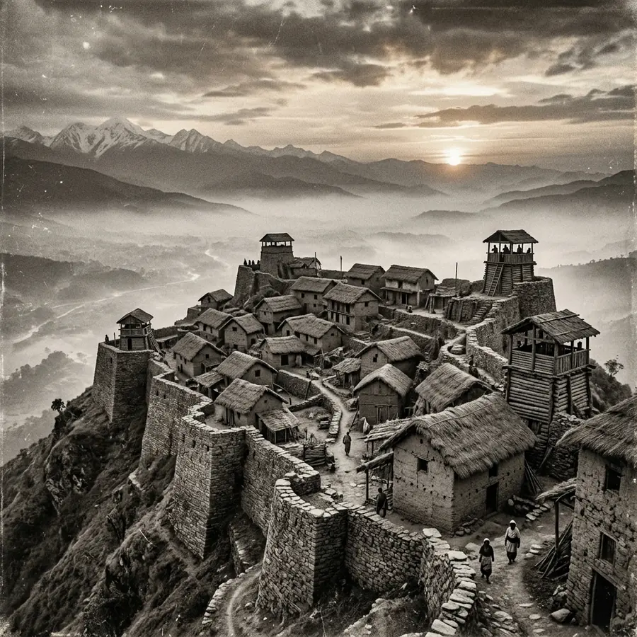
Reconstruction of a fortified hilltop settlement on the western rim of the Kathmandu Valley9 min read

Legend and the Kirat tradition

The Legend of Shonitapur: Thankot and Its Kirat Origins

A Puranic story about the demon king Banasura gave Thankot its oldest name. Separating that legend from the chronicle tradition and from the documented record of the Kirat period.

Period
Before 464 CE
Standing
Legend

Read the chronicle

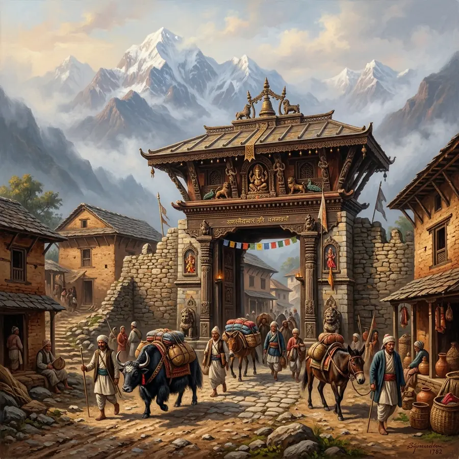
The western gateway into the Kathmandu Valley at Thankot9 min read

Malla period to the present

Thankot as Customs Post: Salt, Trade and the Western Gate

Thankot was where the valley counted what came in. The passes, the salt, the nineteenth century duty orders and the police post that still stands on the same ground.

Period
c.1500 to today
Standing
Mixed

Read the chronicle

Traditional brick and timber houses in a Kathmandu Valley rim town9 min read

Malla period to the present

Newar Thankot: The Old Bazaar, the Guthi and the Courtyard House

Thankot is a Newar route town, and it is built like one. The plan of the bazaar, the anatomy of a brick house, the woodwork, and the guthi trusts that still run the rituals.

Period
c.1600 to today
Standing
Mixed

Read the chronicle

The Mahalaxmi pagoda temple at Thankot9 min read

Malla period to the present

Mahalaxmi Temple, Thankot: The Pagoda and the Red Chariots

A pagoda temple in the old bazaar, dated locally to around 1690, and the Mangsir chariot festival that covers the whole town in red powder. What is documented, what is tradition, and how to attend.

Period
c.1690
Standing
Mixed

Read the chronicle

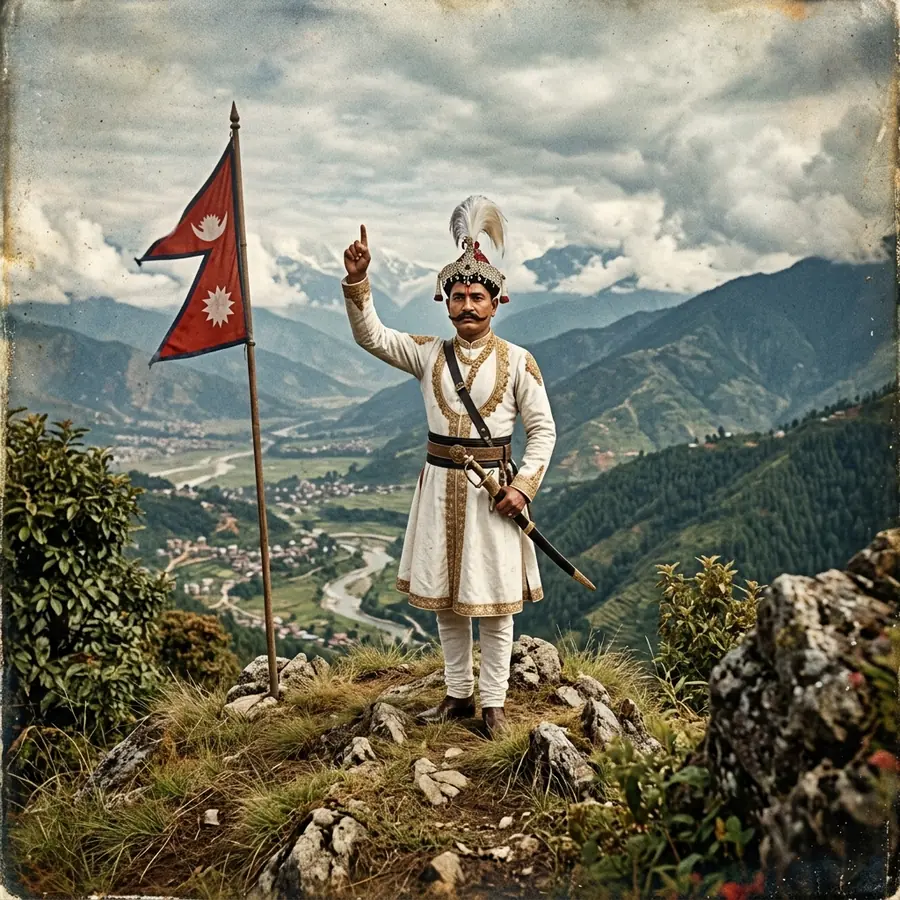
Prithvi Narayan Shah looking out over the Kathmandu Valley from the Chandragiri ridge10 min read

Gorkhali campaign, 1744 to 1769

Prithvi Narayan Shah and Chandragiri: the Gorkhali Campaign

Twenty-five years of campaigning, decided by holding the passes rather than by winning battles. The dated sequence, the two Kirtipur disasters, and what actually happened on the Chandragiri ridge.

Period
1744 to 1769
Standing
Documented history for the campaign dates and outcomes, from published Nepali and academic sources

Read the chronicle

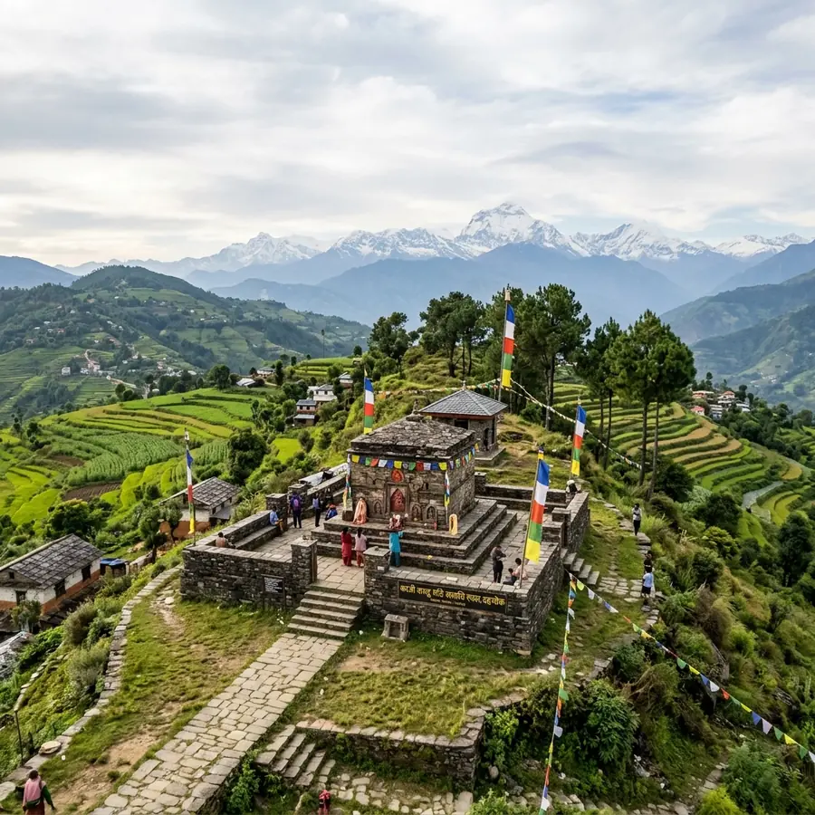
The memorial and tomb of Kaji Kalu Pande at Dahachowk above Thankot9 min read

Gorkhali campaign, 1713 to 1757

Kalu Pande: the Kaji of Gorkha and the Tomb at Dahachowk

The commander who told Prithvi Narayan Shah to take the routes rather than the cities, was overruled once, and was killed for it at Kirtipur in 1757. His tomb is a half hour above Thankot.

Period
1713 to 1757
Standing
Documented history for the office, the date of death and the memorial

Read the chronicle

A team of porters carrying a car on a timber frame over a mountain trail9 min read

Rana period to 1956

The Car Porters of Thankot: When Men Carried Automobiles

Between the 1920s and 1956 there was no road into Kathmandu, so motor cars came over the hills on the shoulders of porters, eight days from Bhimphedi, and were rebuilt at Thankot.

Period
1920s to 1956
Standing
Documented history

Read the chronicle

The road entering the Kathmandu Valley at Thankot below the Nagdhunga saddle10 min read

Modern, 1953 to today

The Tribhuvan Highway: the First Road into the Kathmandu Valley

In 1956 the first motorable road reached Kathmandu, and it came over the rim at Thankot. Seventy years later the Nagdhunga tunnel changed the same corridor again.

Period
1956
Standing
Documented history

Read the chronicle

Common questions about the history of Thankot

Short answers, with the longer version linked from each chronicle.

What is Thankot known for historically?
Thankot sits at the foot of the only easy pass through the western rim of the Kathmandu Valley, so it has been the valley's western gate for centuries: a customs and control post, the point where the Gorkhali blockade closed the western road in the 1760s, the place where motor cars carried over the hills were reassembled before 1956, and the point where the first road into the valley arrived.
Was Thankot once called Shonitapur?
A local tradition says so, and it is widely repeated in Nepal. Shonitapura is a city in Puranic literature, the capital of the asura king Banasura, and the identification most accepted elsewhere in South Asia places it at Tezpur in Assam. There is no inscription or excavation supporting the Thankot claim, so it should be described as legend.
What is the oldest thing you can actually see in Thankot?
The Mahalaxmi temple in the old bazaar, dated by local and municipal accounts to about 1690, together with the surviving Newar brick and timber fabric of the bazaar street around it. Nothing at Thankot has been dated by published excavation to the Kirat or Licchavi periods.
How does Thankot relate to Prithvi Narayan Shah?
Thankot sits below the Chandragiri ridge, where chronicle tradition places the king's first sight of the Kathmandu Valley, and it held the western road during the Gorkhali blockade of the 1760s. His kaji, Kalu Pande, killed at Kirtipur in 1757, is buried on the ridge above the town at Dahachowk.
When did the first road reach Kathmandu?
In 1956, when the Tribhuvan Highway was completed with Indian assistance. It enters the Kathmandu Valley over the Nagdhunga saddle above Thankot. Before that year no motor vehicle had ever reached the capital under its own power.

Keep reading around the site

Walk the ground these chronicles describe

The old bazaar, the Nagdhunga saddle, the Dahachowk tomb and the Chandragiri ridge are all within a morning of each other.