Chandragiri Municipality, Nepal

Thankot, the western gateway to the Kathmandu Valley

Thankot is a bazaar town 12 km west of Kathmandu, at the pass where the Tribhuvan Highway leaves the valley and the Chandragiri cable car climbs to a 2,551 m ridge. Come for the Himalayan skyline from the summit temple, stay for a Newar town that has watched over this road since long before the highway was cut.

Written and checked on the ground by the Thankot.com editorial desk. Last checked August 2026.

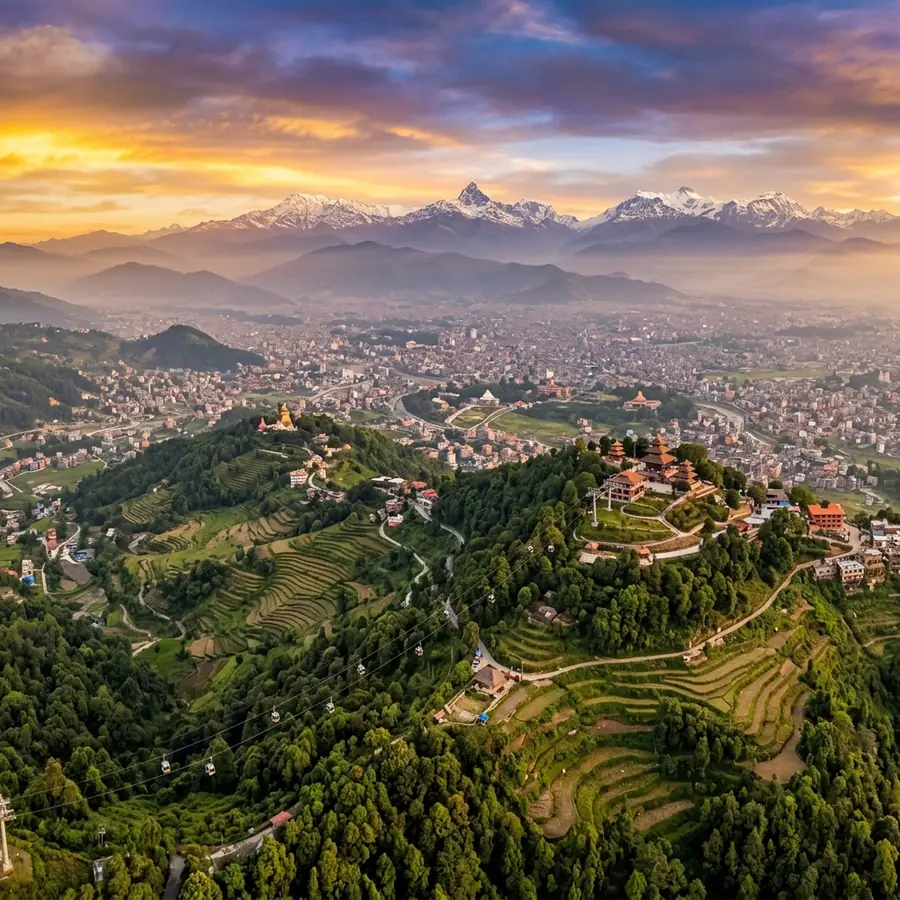
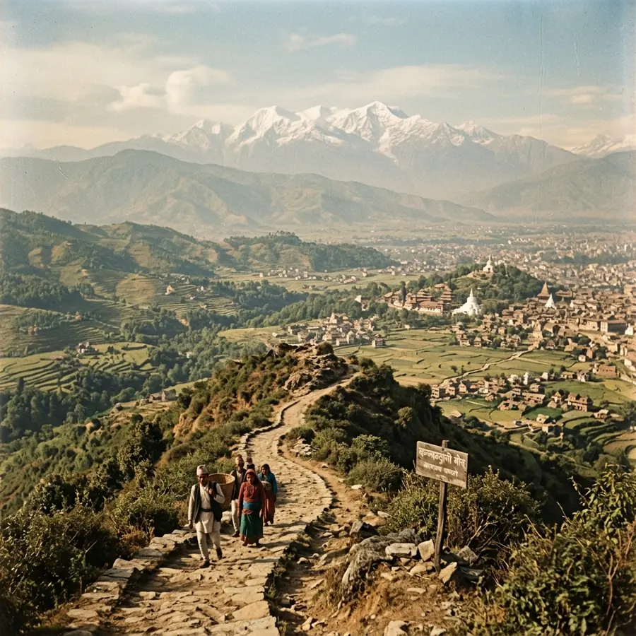
The Chandragiri ridge above Thankot, looking north across the Kathmandu Valley at dusk

Chandragiri ridge

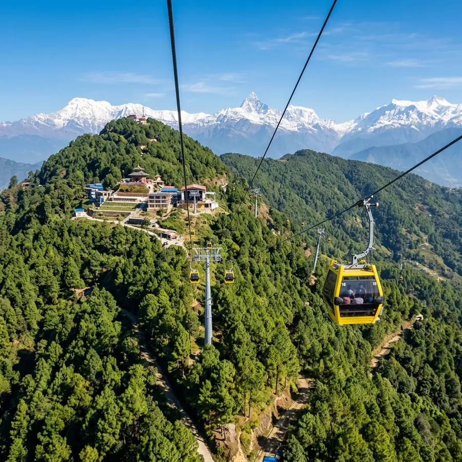
The view north from the summit, 2,551 m above sea level

Thankot in brief

What and where Thankot is

The six facts most people are looking for, before any of the detail.

12 km

West of Kathmandu

2,551 m

Chandragiri summit

9 min

Cable car to the top

c. 1690

Mahalaxmi temple

Quick facts

Where it is
Chandragiri Municipality, Kathmandu district, Bagmati Province, Nepal
Distance
About 12 km west of central Kathmandu, roughly 18 km from Tribhuvan International Airport
Elevation
Around 1,400 m in the bazaar, 2,551 m at the Chandragiri summit above it
Getting up the hill
Chandragiri cable car, about 2.4 km of cable, roughly a nine minute ride from the Thankot base station
Oldest landmark
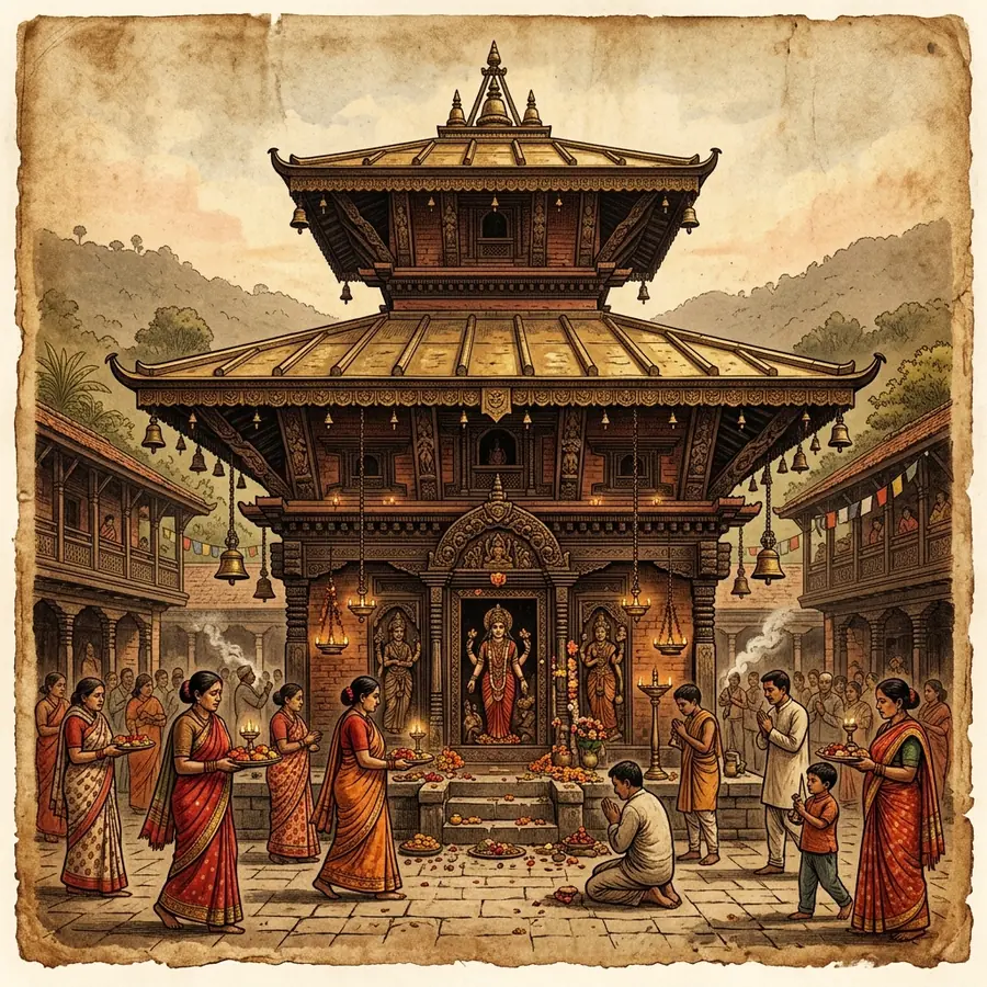
Mahalaxmi Temple, a Newar pagoda dated by local accounts to about 1690
Main road
The Tribhuvan Highway, Nepal’s first highway, leaves the valley here over the Nagdunga pass toward Naubise

Why the town is here at all

Thankot sits on the only easy western way in and out of the Kathmandu Valley. Traders, armies and, eventually, the first road all had to pass this gap in the hills, which is why a settlement of this size grew on a hillside with no farmland to speak of.

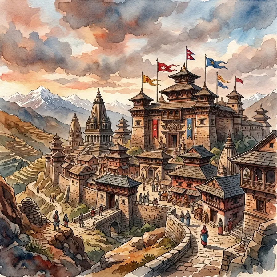
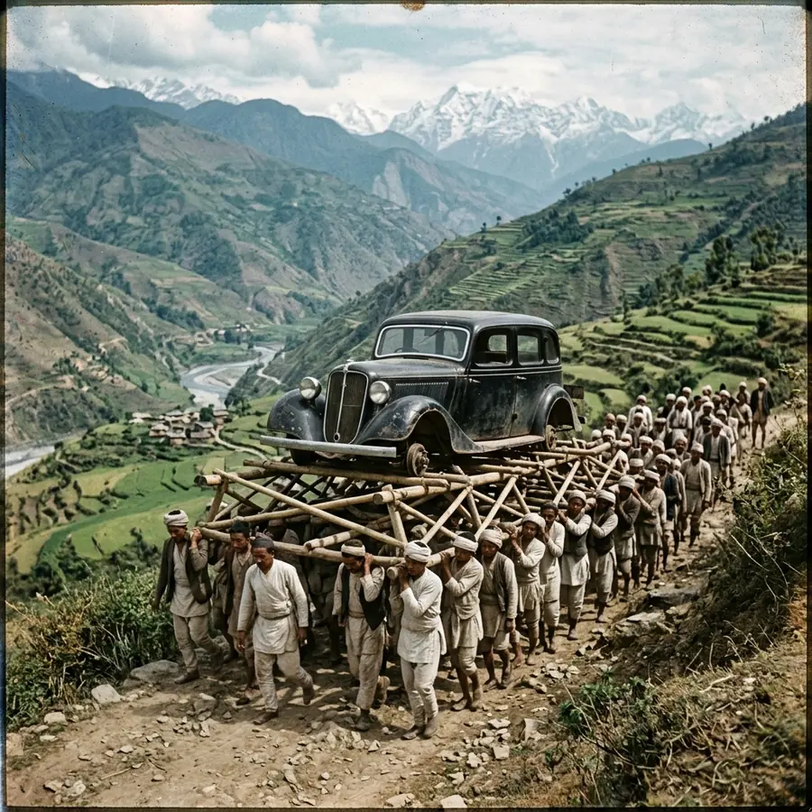
That geography explains almost everything else on this site: the fort in the name, the Gorkhali blockade of the 1760s, the porter teams who carried the valley’s first cars over the ridge, and the cable car strung up the same slope today.

Read the chronicles
Attractions

What to see in Thankot and on the Chandragiri ridge

Six places worth your time, each with its own page covering fares, timings and how to reach it.

Plan your visit

Getting to Thankot, and how long to give it

Thankot is a half day from central Kathmandu, or a full day if you add the old bazaar and Matatirtha.

A workable day, in order

  1. Leave Kathmandu early. The Kalanki junction is the bottleneck, and it only gets worse after about eight.
  2. Ride the Chandragiri cable car first, while the air is clearest. Give the summit an hour.
  3. Come down for the Mahalaxmi Temple and a walk through the old bazaar.
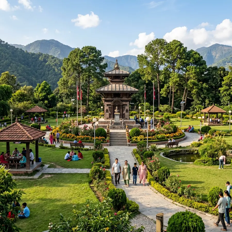
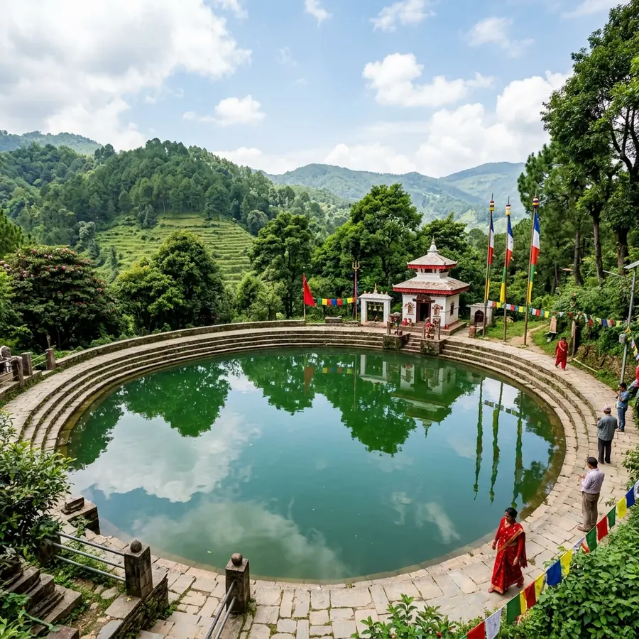
  4. If you still have the afternoon, add Tribhuvan Memorial Park or the pond at Matatirtha.

Fares and cabin timings move, so check the operator before you travel. We list what we last confirmed, and when, on how to get to Thankot.

Orientation

How the landmarks sit on the ridge

Thankot bazaar is at the foot of the slope at about 1,400 m. Everything else climbs from there to the summit temple at 2,551 m.

The diagram is schematic, not to scale. For road distances and bus stops, use how to get to Thankot; for a point by point walk-through of the ridge, start at the Chandragiri cable car.

Chronicles of Thankot

Why a pass in the hills ended up mattering this much

Four long-form chronicles, written from Nepali sources and marked where the record is tradition rather than documentation.

Festivals and jatra

When the town is worth planning a trip around

Three occasions when Thankot stops being a place you pass through and becomes the reason you came.

Mahalaxmi Jatra

Spring, lunar date

Mahalaxmi Jatra

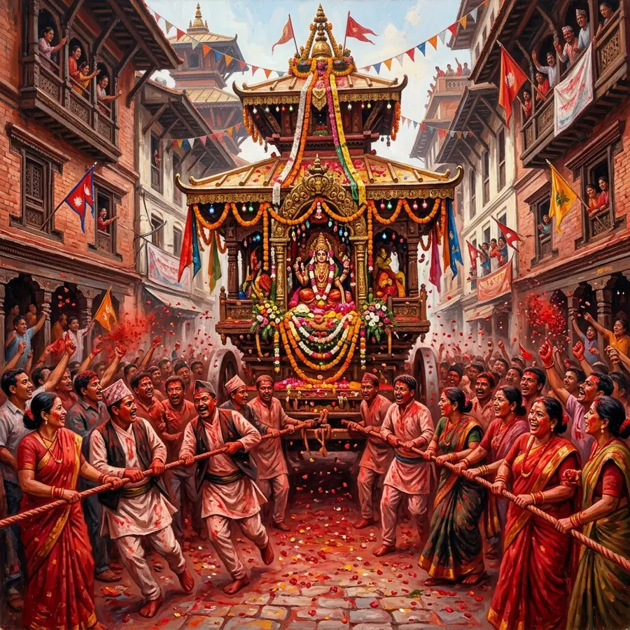
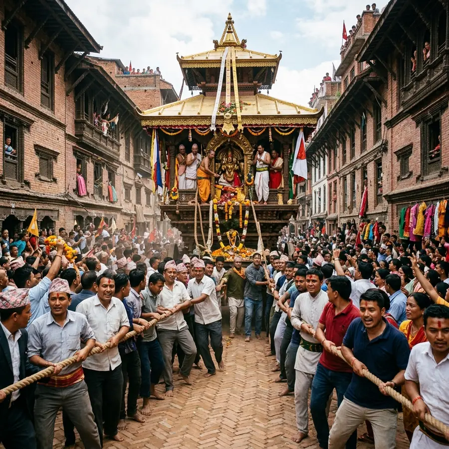
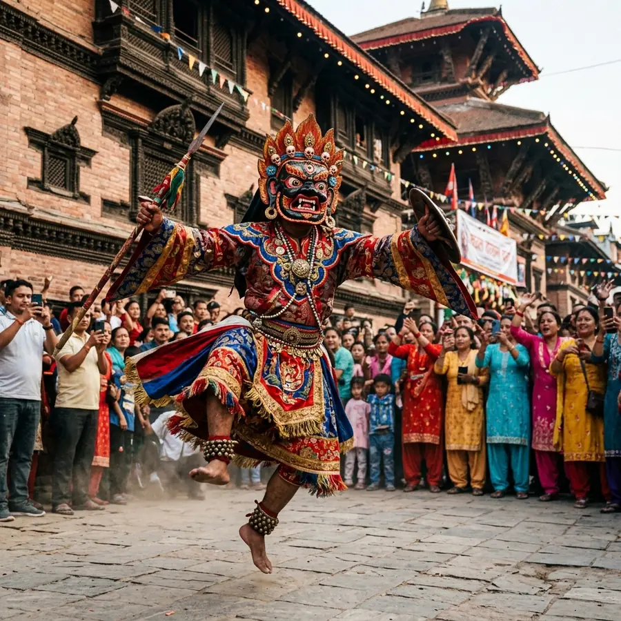
The town’s own festival. Wooden chariots are pulled through the bazaar to panche baja drums and horns, and the streets around the temple close for the procession.

Mata Tirtha Aunsi

Late April or May, new moon

Mata Tirtha Aunsi

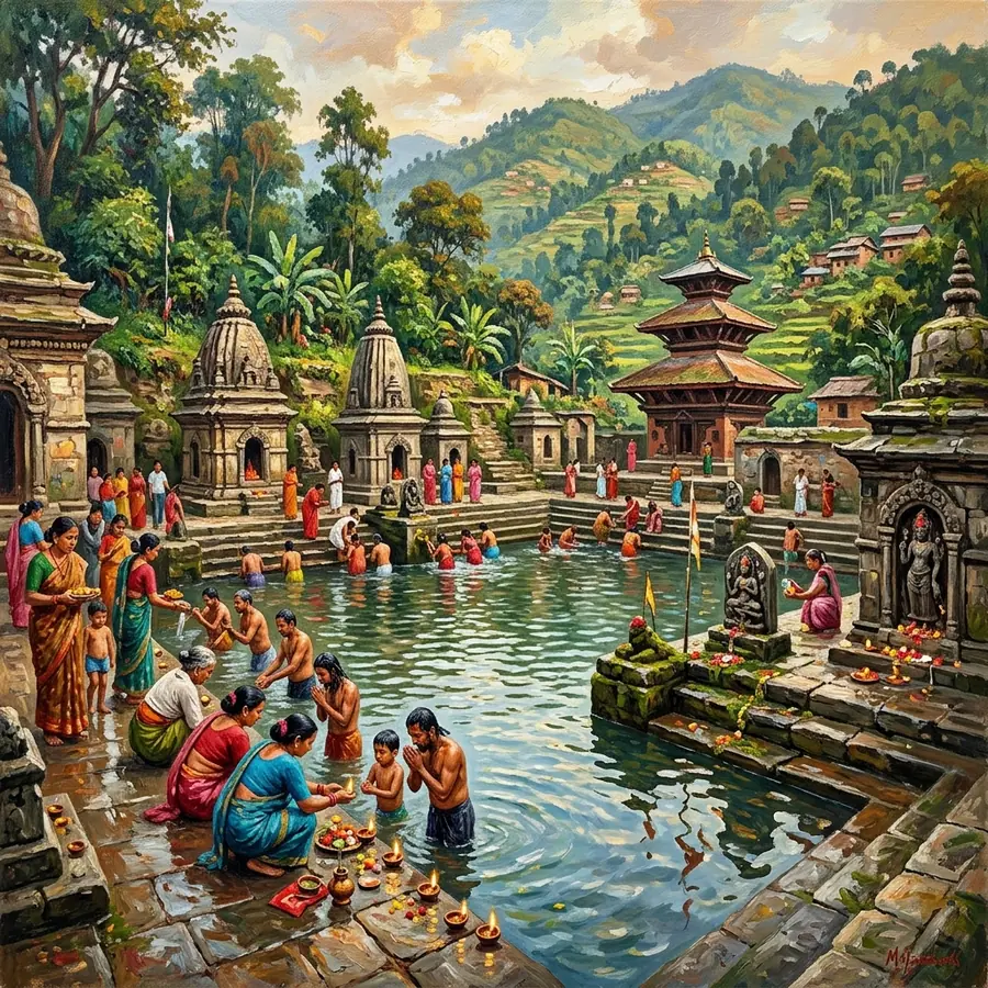
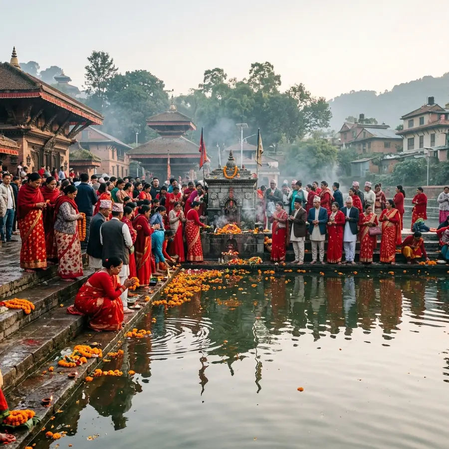
Nepal’s day for honouring mothers. Those whose mothers have died come to the pond at Matatirtha to look for her face in the water, and the approach road fills from before dawn.

Dashain and Tihar

September to November

Dashain and Tihar

The national festivals empty Kathmandu and fill the bazaar. Cable car queues are at their longest, the air is at its clearest, and every shopfront is lit.

Traditional games

Play Bagh Chal and Langur Burja in your browser

Two games that have been played in Nepali courtyards and at festival stalls for generations, rebuilt to run free in a browser with no account and no stake.

Bagh Chal, meaning "tiger move", is an asymmetric hunt game: four tigers try to jump goats off a five by five lattice while twenty goats try to hem the tigers in until none can move. It is old, it is sharp, and it is nothing like chess. Langur Burja is the six symbol dice game that appears on a cloth at Dashain, where players back a symbol and three dice decide it.

Our versions are free to play, involve no money or wagering of any kind, and run entirely in the browser. Nothing is uploaded and no sign-in is needed.

The Bagh Chal lattice: four tigers, twenty goats, twenty five points.
About this site

What Thankot.com covers, and how it is written

A single site for one place, kept current rather than published once and abandoned.

Thankot is written about a lot and documented very little. Most of what circulates online is a paragraph of cable car marketing attached to a legend nobody has bothered to source. This site tries to do the opposite: separate what is in the record from what is in the vamshavali chronicle tradition, say which is which, and give the practical detail a visitor actually needs on the day.

That means fares checked with the operator rather than copied from a blog, journey times measured in traffic rather than in a straight line, and festival entries that admit the date moves with the lunar calendar. Where we are unsure, the page says so.

The site is organised around four things you can do here. You can plan a visit, with routes from Kathmandu and the best months for a clear view. You can read up on the individual attractions, one page each, from the summit temple down to the pond at Matatirtha. You can work through the chronicles, which run from the old name of the pass to the porters who carried cars over the hills. And you can check the festival calendar before you commit to a date.

There is also a small games section for Bagh Chal and Langur Burja, two games that belong to this part of the world and are worth keeping playable.

Questions

Common questions about visiting Thankot

The eight things people most often ask before making the trip out of Kathmandu.

Is Thankot worth visiting?

Yes, for a half day or a full day out of Kathmandu, and mainly for two things: the ridge above it and the old town below it. The Chandragiri cable car lifts you from about 1,500 m to 2,551 m in roughly nine minutes, and on a clear autumn morning the summit terrace looks north over the whole Himalayan wall. Down in the bazaar, the Mahalaxmi Temple is a working Newar pagoda rather than a ticketed monument, which is a very different experience from Durbar Square.

What Thankot is not is a multi-day destination. Most visitors combine the cable car with one temple and are back in the city by late afternoon. Our visit guide sets out what fits into each length of trip.

How far is Thankot from Kathmandu?

Thankot lies about 12 km west of central Kathmandu and roughly 18 km from Tribhuvan International Airport. The distance is short, the time is not: the Kalanki junction sits between the city and the highway, and the same run can take 30 minutes at six in the morning or well over an hour in the evening.

Local buses and micros leave from Kalanki and from Ratna Park, taxis and rideshare apps both serve the route, and fares vary widely by hour. We list the current options and what each costs on how to get to Thankot.

How do I get to Chandragiri from Thankot?

The cable car base station is at Thankot, just off the highway, and it is the way almost everyone goes up. The cabins run continuously through the day, the ride covers about 2.4 km of cable, and it takes around nine minutes to the summit station. Buy the ticket at the base station; queues build sharply on Saturdays and public holidays, so a weekday morning is much quicker.

There is also a walking route up the ridge, which takes a few hours and passes Indra Daha. It is a genuine hill walk, not a stroll. Full detail, including fares by nationality, is on the Chandragiri cable car page.

What is Thankot famous for?

Four things. It is the western gateway of the Kathmandu Valley, the point where the Gorkhali forces under Prithvi Narayan Shah controlled the road into the valley in the 1760s. It is the Kathmandu end of the Tribhuvan Highway, Nepal’s first highway, whose gravel surface opened in 1956 and ended the era when cars were carried into the valley by porters. It is the base of the Chandragiri cable car. And it holds the Mahalaxmi Temple, whose spring jatra is the biggest event in the local calendar.

What does the name Thankot mean?

The usual local reading is "upper fort", from than (upper or high) and kot (fort or fortified post), a name that fits a settlement guarding the pass into the valley. Older accounts in the vamshavali chronicle tradition attach the name Shonitapur to this area, which is normally glossed as "city of blood". Both readings circulate locally and neither is settled by documentary evidence, so we mark them as tradition rather than record on the Shonitapur page.

What is the best time of year to visit Thankot?

October to early December. The monsoon has cleared, the air over the valley is at its cleanest, and the mountain view from the Chandragiri summit is most likely to be open. February and March are the second choice, warmer but hazier. From late May to September, cloud sits on the ridge for much of the day and the cable car can run into a white wall of nothing at the top.

If you want the Mahalaxmi jatra rather than the view, the festival falls in spring and the date shifts with the lunar calendar. See the best time to visit and the festival calendar.

Can you see Mount Everest from Chandragiri?

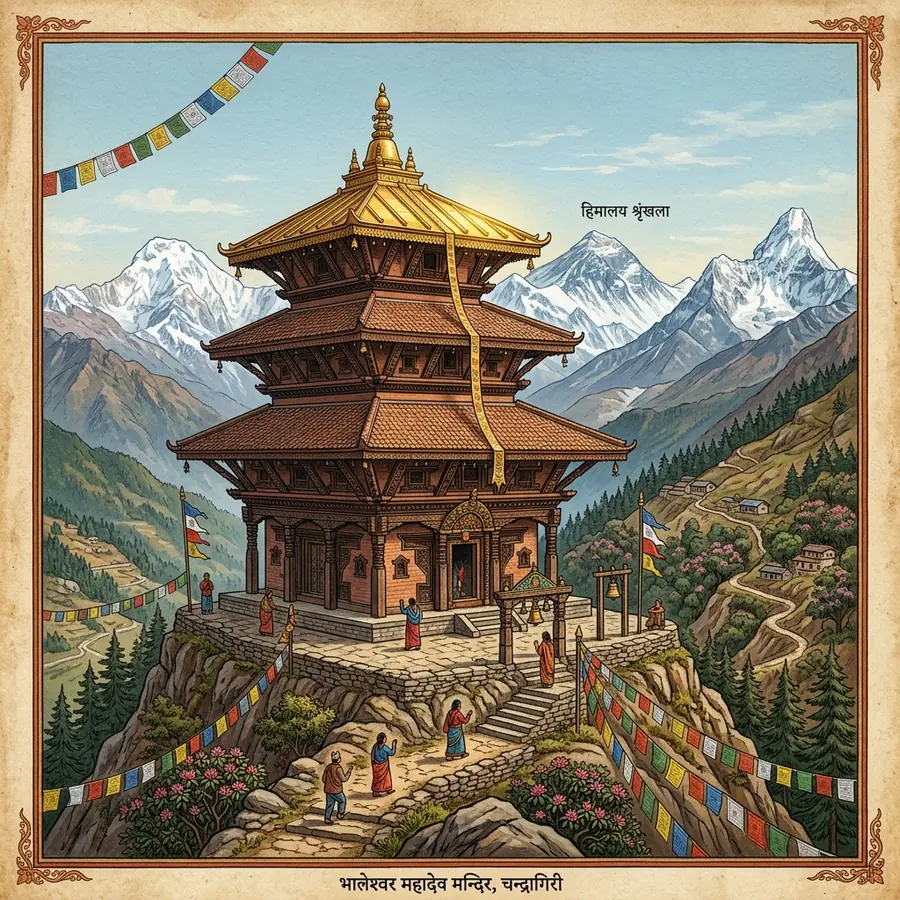
On a genuinely clear day, yes, but it is a distant sliver rather than the centrepiece. The summit terrace at Bhaleshwor Mahadev faces a long stretch of the Himalaya, and Ganesh Himal, Langtang and Dorje Lakpa are the peaks that actually dominate. Everest sits far to the east and needs both a clear sky and someone to point it out. Early morning gives the best odds, and winter mornings the best of all.

How much time should I allow for Thankot?

Half a day covers the cable car, an hour at the summit and the ride back. A full day adds the Mahalaxmi Temple in the old bazaar, a walk in Tribhuvan Memorial Park and, if you are travelling by taxi, the pond at Matatirtha a few kilometres north. Add an hour in each direction for traffic through Kalanki, more on a Friday afternoon.

Start with the visit guide

Routes from Kathmandu, cable car timings, the months with the clearest mountain view, and what fits into a half day.